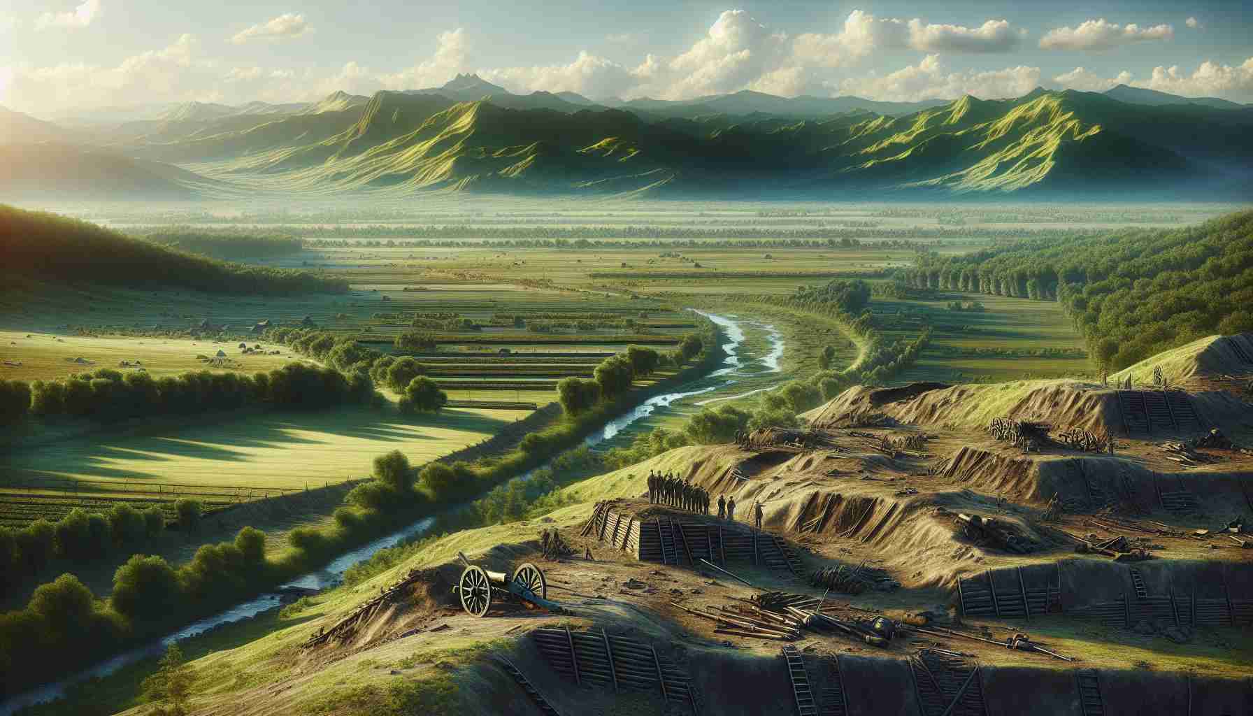
In a groundbreaking study, archaeologists have utilized declassified spy satellite photographs to accurately locate a significant 7th-century battlefield. This pivotal site, stemming from the struggle between the Mesopotamian floodplain and the Arabian desert, has intrigued researchers for centuries. A collaborative effort between Durham University in the UK and the University of Al-Qadisiyah in Iraq has led to new findings by examining 1970s satellite images alongside contemporary visuals and historical accounts.
The team identified the battlefield approximately 30 kilometers south of Kufa, nestled in the Najaf Governorate. This location is historically linked to the Battle of Al-Qadisiyyah, which occurred in 637/8 AD and marked a crucial point in Islamic history. Troops led by the Rashidun Caliph Umar al-Khattab faced off against the forces of the Sassanian Emperor Yazdegerd III, under the command of Rostam Farrokhzad. This confrontation heralded the end of Sassanian control over Mesopotamia, paving the way for Arab conquests across Persia.
During their research along the ancient Darb Zubaydah pilgrimage route, archaeologists discovered remnants of a six-mile-long double wall that connected military complexes and settlements, which coincided with references found in historical texts. This innovative approach not only sheds light on the battle’s location but also enhances our understanding of early Islamic conquests, as detailed in the journal “Antiquity.”
Historic Battle Site Discovered: New Insights from Satellite Imagery
In a remarkable advancement in archaeological methodology, researchers have uncovered a significant historic battle site utilizing declassified satellite imagery, marking a turning point in how ancient conflicts are studied. The discovery revolves around the Battle of Al-Qadisiyyah, a pivotal 7th-century confrontation rooted in the rise of Islamic expansion.
Background and Findings
While previous studies focused on the identification of the battlefield, recent investigations have also highlighted aspects such as troop movements, supply lines, and geographic analysis of the terrain during the battle. Through the collaboration of Durham University and the University of Al-Qadisiyah, this research integrates both historical texts and visual technology, leading to a multidimensional picture of the event.
Interestingly, this battlefield lies not only at the juncture of deserts and floodplains but also near ancient trade routes, illustrating the strategic importance of the location. By employing advanced remote sensing technology, the team has revealed hidden structures that indicate the size and logistics of the armies involved. High-resolution satellite images pinpoint the remnants of encampments, fortifications, and potentially even burial sites of the deceased soldiers.
Key Questions and Answers
1. What methodologies were employed to uncover the battlefield?
The primary method involved analyzing declassified satellite images from the 1970s in conjunction with modern aerial photography, along with historical documentation. This combination allowed researchers to visualize the changes in the landscape over centuries and identify features relevant to the battle.
2. How significant is this discovery to our understanding of early Islamic conquests?
This discovery is crucial as it provides concrete evidence of military strategies employed during the early Islamic conquests, showcasing the tactical use of geography and resources which can reshape historical narratives.
3. What are the implications for future archaeological studies?
The successful application of satellite imagery in this context paves the way for similar studies in other historical battlegrounds, potentially leading to a broader understanding of ancient warfare.
Challenges and Controversies
The application of satellite imagery to archaeological studies does not come without challenges. There are concerns regarding the accuracy of historical interpretations and the potential for misidentifying sites. Moreover, there might be controversies regarding the ownership and management of cultural heritage sites, especially in regions with ongoing geopolitical tensions.
Advantages and Disadvantages
Advantages:
– Enhanced Accuracy: Satellite imagery allows for a more precise identification of sites.
– Cost-Effectiveness: It reduces the need for extensive physical excavations in the initial survey phase.
– Access to Remote Areas: It enables researchers to investigate difficult-to-reach locations that may be otherwise overlooked.
Disadvantages:
– Dependence on Technology: It requires continuous advancements in technology and access to up-to-date satellite data.
– Historical Context Limitations: While imagery provides spatial data, it may lack the essential qualitative insights that come from on-the-ground archaeological work.
Conclusion
This groundbreaking study using satellite imagery has not only revealed a historic battle site but has also challenged traditional archaeological practices, urging researchers to adopt new technologies in their quest for understanding our past. As we delve deeper into our historical narratives, the combination of technology and traditional research promises to unlock further insights into ancient civilizations.
For more information on related archaeological studies, please visit archaeology.org.


